 |
400
x
200 |
800
x
400 |
1200
x
600 |
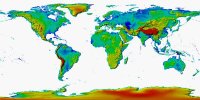
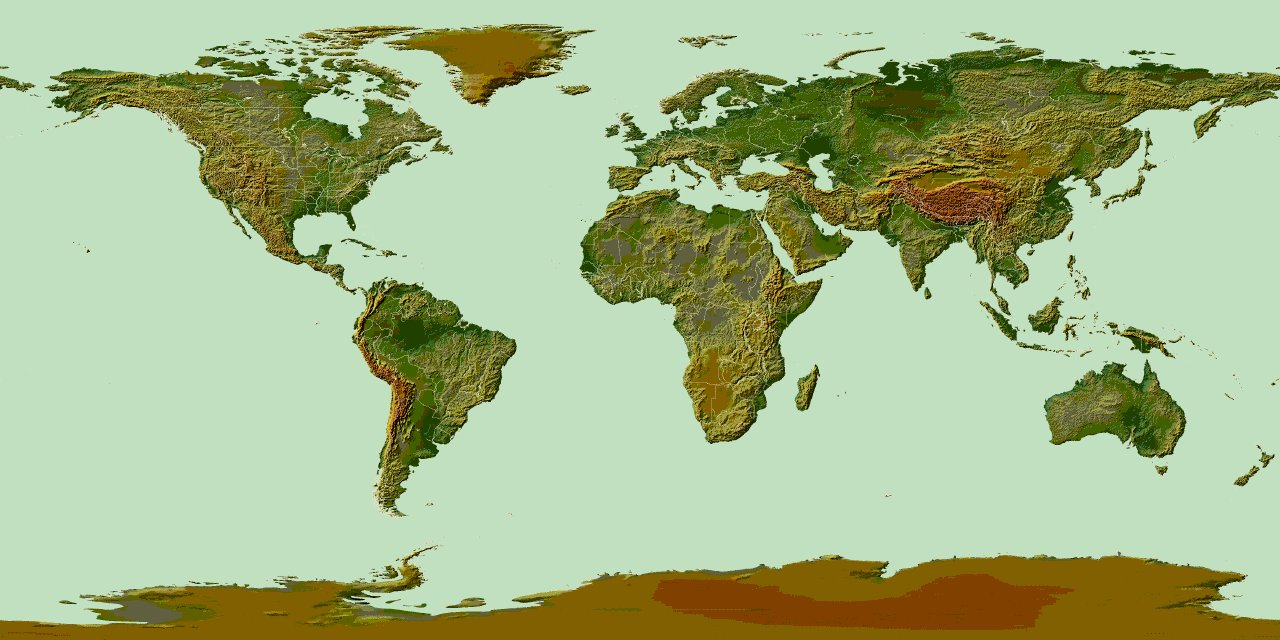
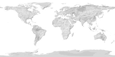
| The
Altitude Map has a white ocean and false-color
representation of land that represents relative altitude. |
 |
400
x
200 |
800
x
400 |
1440
x
720 |
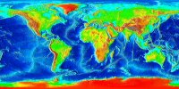
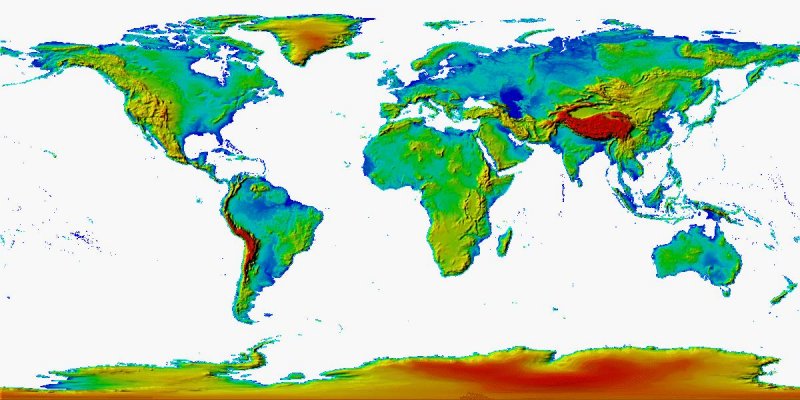
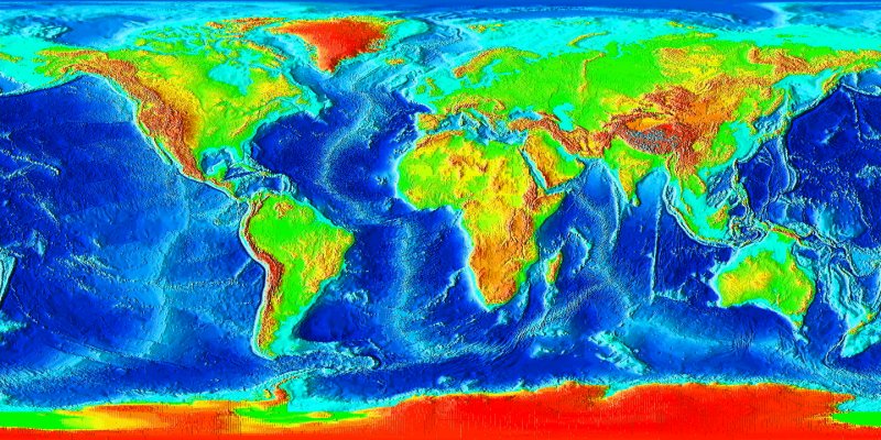
| The Depths Map has a
false-color (albeit somewhat approximate of actual color)
representation of land elevations and ocean depths. |
 |
400
x
200 |
800
x
400 |
1440
x
720 |
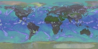
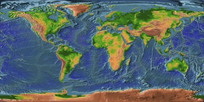
| The MGGD Map (similar
to the Depths Map) has a false-color representation of land
elevations and ocean depths. |
 |
400
x
200 |
800
x
400 |
1600
x
800 |
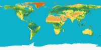
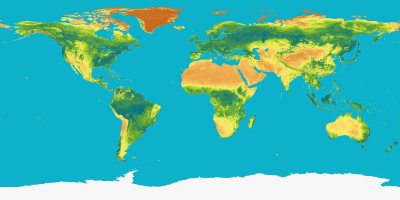
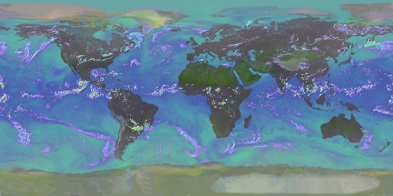
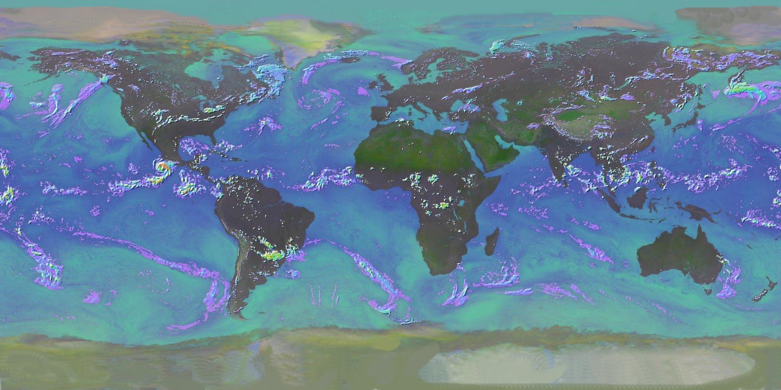
| The
Rainfall Map is a false-color representation of rainfall
across the globe. NOTE: This map has be manually
altered above 80N and below 80S to fill in missing data
on the north and south poles. |
 |
400
x
200 |
800
x
400 |
1200
x
600 |
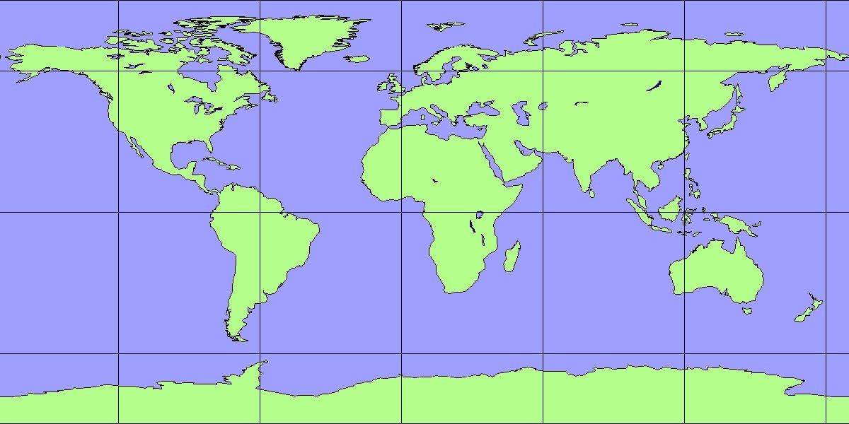
| The
Simple Grid Map has a blue ocean, green land with black
water boundaries and black longitude/lattitude
grid-lines. |
 2400 x 1200
 2400 x 1200


